
Measuring deformation is an important part of the volcano monitoring toolbox. Deformation is a change in the ground surface or shape, whether that’s up (inflation), down (deflation), or sideways.

Janine Krippner
Understanding what the cause could be, the uncertainty involved (what we don’t know, or errors introduced by processing the data), and incorporating information from other monitoring techniques allows us to narrow down what might be happening below the surface.
We can measure deformation using high-precision GPS (Global Positioning Systems). Another way is using radar satellites, a technique called InSAR (Interferometric Synthetic Aperture Radar) that allows us to measure down to millimetres or centimetres of change from space.
After experts process this data, we can then investigate different causes behind the change while taking into account the local geology and hydrology.
One cause is magma movement. If magma is rising towards the surface as an intrusion, it can push the ground upwards and/or outwards. As magma reaches shallower depths the pressure on the magma is reduced (deeper in the crust equals more pressure). At lower pressures gases are released from the magma and they expand, increasing the pressure within the magma and on the surrounding rock, which can cause slight movement of the surface. This is often millimetres to centimetres in scale.
Sometimes this is much more obvious. Leading to the 1980 eruption of Mount St. Helens, the north flank bulged outwards at about two metres each day. Magma was pushing up into the volcano, erupting with catastrophic consequences on May 18.
Magma rising does not mean an eruption will happen. It can stall and stop, slowly cooling and solidifying into crystalline rock over time. It can remain an intrusion. This process can cause some slow subsidence of the land above it.
Another cause is fluids, like geothermal water. Volcanoes often have geothermal systems because of remnant heat from older eruptions heating water at shallow depths. This water can be rainwater percolating down through the ground, it can also be fluids released from the magma.
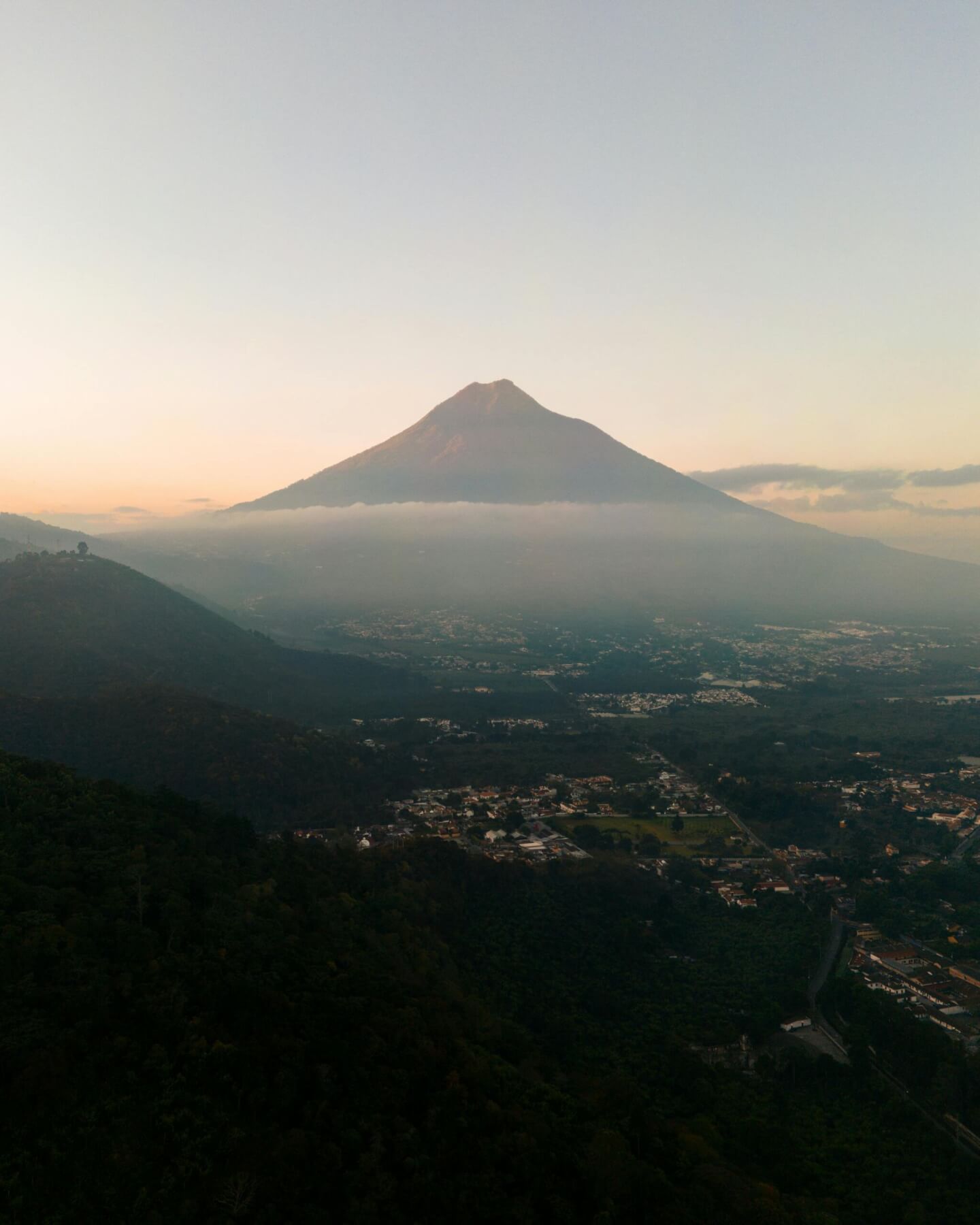
Majestic Volcano, Volcan de Fuego, Guatemala. Photo: Darius Haberstock, pexels.com
Volcanoes can also be in areas with a lot of faults, and they can produce deformation when they move. Faults can move because of processes that have nothing to do with the volcanic system, or they can become active because of magma or fluids moving within the ground.
The ground can also subside when fluids or gas are removed, like magma erupting or the extraction of water or geothermal fluids.
The removal of groundwater in California’s San Joaquin Valley resulted in about 8.5 metres of ground subsidence from the 1920s to around 2015. A single storey room is typically 2.4 metres high. We have seen similar subsidence with geothermal steam extraction in New Zealand. Spread out over large distances, this can be difficult to see just by looking.
The surface itself can also slump because of gravity and instability, or sinkholes can form.
While we think of the ground below our feet as solid and stable, it still moves. This is sometimes very slow, other times very fast, and geoscientists study all aspects of it to understand what has happened, what is happening, and what might happen next.
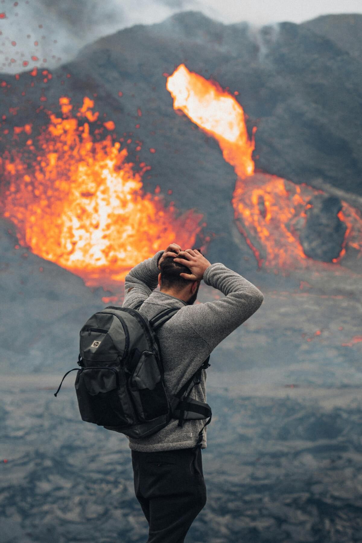
Photo: Eriks Cistovs