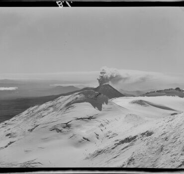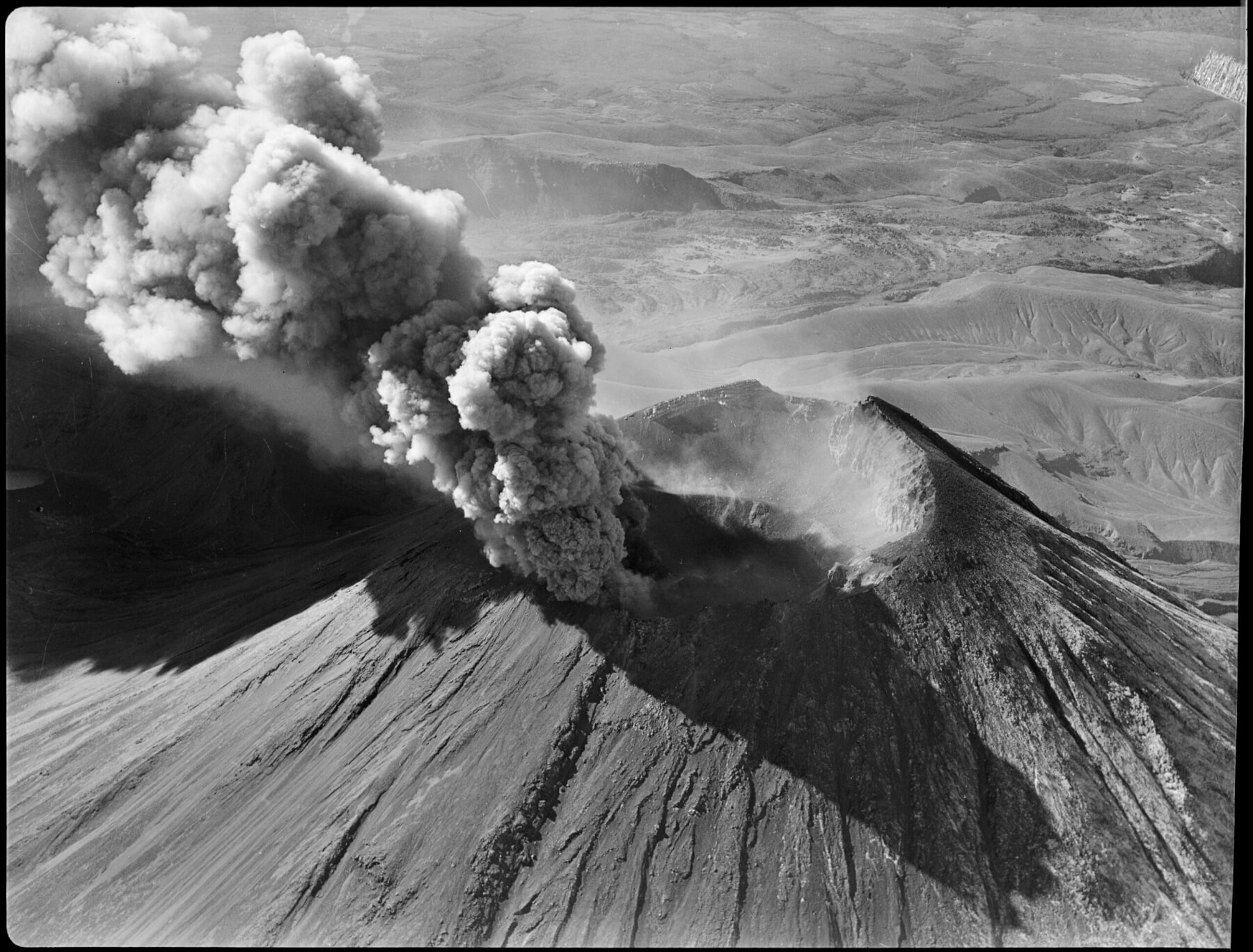
Mount Ngauruhoe erupting, Tongariro National Park. Whites Aviation Ltd: Photographs. Ref: WA-34042-F. Alexander Turnbull Library, Wellington, New Zealand.

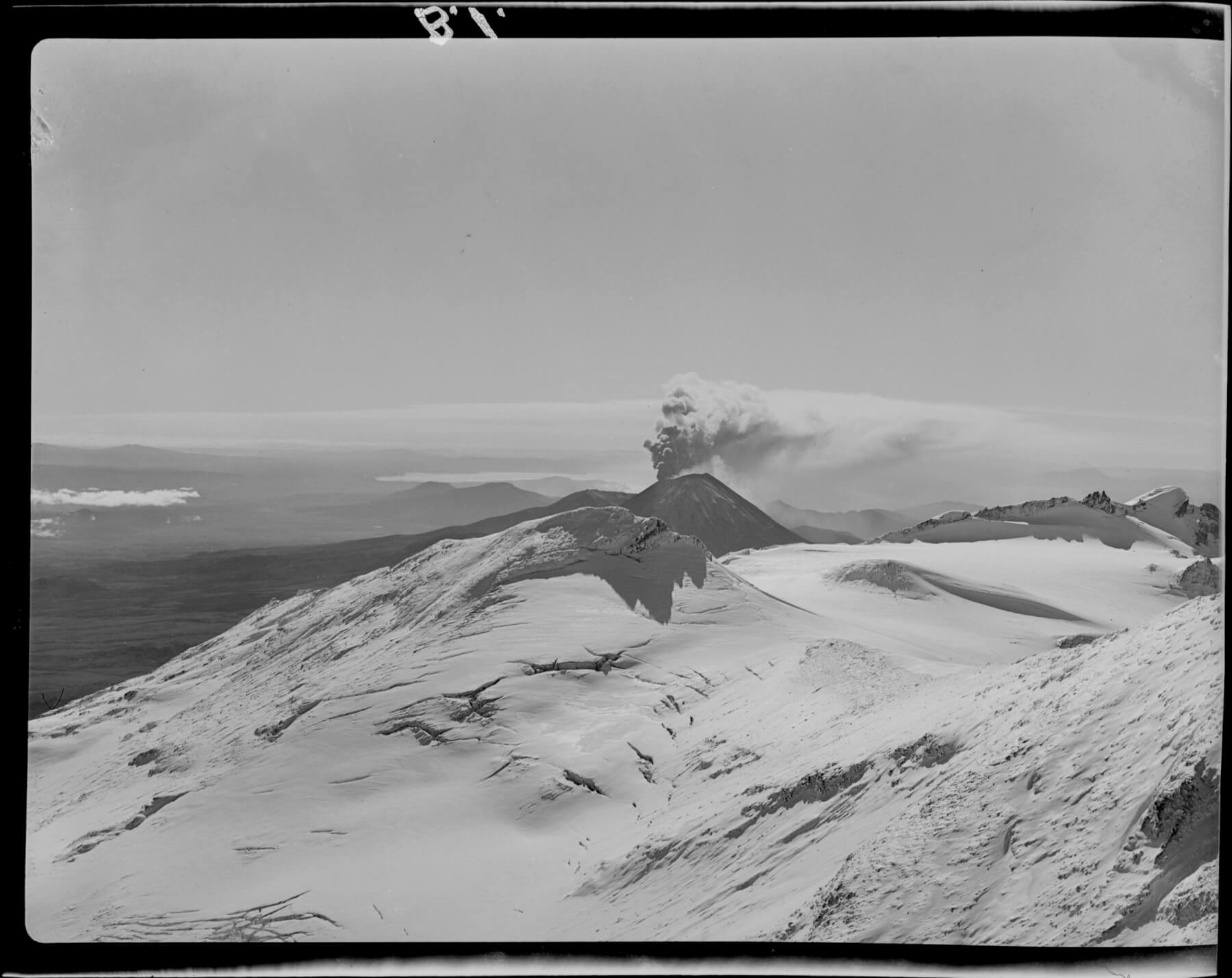
Mt Ngauruhoe. Whites Aviation Ltd: Photographs. Ref: WA-13077A-F. Alexander Turnbull Library, Wellington, New Zealand.
“The roar of these gusts could be heard above the plane’s engines. As the aircraft went through the ash and the heat it heaved and buckled and those in the cabin closed their eyes against the dust.”
Reading this I just cringed. This is a description in The Dominion (June 5, 1954) from a small plane flying around Ngāuruhoe during an intense eruption in 1954, a near miss of a plane versus volcano. This is not the first close call I have read during my research into historical eruptions at Ngāuruhoe. Some of these involved planes, others involved people dodging hot boulders while climbing the volcano to look into the erupting crater. I am very surprised that no one died during that eruption.
There have been bigger near-misses when it comes to planes flying through ash plumes. In fact, there are 79 documented volcanic ash-plane events during from 1953 to 2009. Nine involved engine failure, thankfully, none crashed. Ash is abrasive so it basically sandblasts windscreens and other parts of the plane, it blocks filters, interferes with sensors and the engines get so hot they melt the glassy volcanic ash where it accumulates within the engine and re-solidifies. Basically, it’s a dangerous mess.
I don’t say any of this to create fear around flying, even knowing all of this I am not concerned when I fly. Sure, I have wondered how I would react if I smelled sulphur while in the air, but I am a happy, relaxed traveller. Why? Because we have volcano monitoring.
There are several ways we monitor volcanoes. There is the on-the-ground monitoring like detecting earthquakes, gas emissions, deformation, and heat, that give us warning that a volcano might be leading to an eruption, then we have plenty of satellites around the world that measure temperature, clouds (including ash plumes), and we have systems that can pick up clues given by eruptions from far away like volcanic lightning and infrasound networks that detect sound below human hearing.
When the Hunga Tonga-Hunga Ha’apai volcano erupted in January 2022, the first many of us around the world heard of was an eruption plume being seen in meteorological satellite images.
This is one way that volcano monitoring is critical for people who live far away from volcanoes. Volcanic ash plumes can travel across countries and oceans, and since the 2010 Eyjafjallajökull eruption shut down European airspace we understand much more about what levels of ash are safe for flying.
We have global Volcanic Ash Advisory Centers (VAACs) that specifically keep an eye out for ash and relay this to the airline industries, ours is the Wellington VAAC. We have an Aviation Colour Code system in New Zealand to show the current status of our volcanoes. The ability to give forewarning based on this system is reliant on monitoring systems on the ground by GNS Science. Volcanologists and the aviation industry care deeply about keeping people safe, it is a collaborative effort that I hope we can all appreciate.

Mount Ngauruhoe erupting, Tongariro National Park. Whites Aviation Ltd: Photographs. Ref: WA-34042-F. Alexander Turnbull Library, Wellington, New Zealand.


