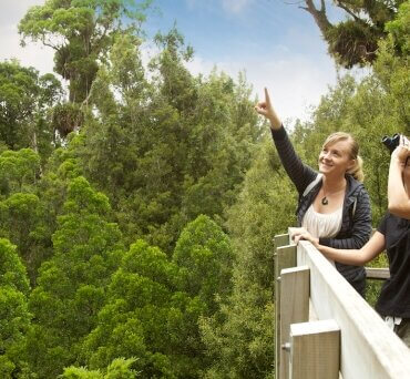
Sanctuary Mountain Maungatautari, viewing tower
While volcanoes can produce stressful and scary events, they are a critical part of our planet’s natural processes and they enhance life on Earth in very important ways.
Locally, old volcanic deposits have weathered down to contribute to our fertile soils that our agricultural industry is built upon. They also provide ecosystems where diversity of plants, animals, insects, and other life can thrive. Next door we have Maungatautari, which is well known as Sanctuary Mountain, an ecological island where a lot of hard work has led to a safe home for some of our rare and endangered species.
Maungatautari is what we call an extinct volcano, which means we do not think it will ever erupt again because activity has since migrated east to the Taupō Volcanic Zone. It was active around two million years ago, making it roughly the same age as the nearby also extinct Alexandra Volcanic Group that includes Mounts Karioi, Pirongia, Kakepuku (not Kakepuka, as I grew up to believe), and Te Kawa.
Erosion has since reshaped the flanks of Maungatautari and dispersed the remnants in the surrounding districts through natural processes like water runoff. Sometimes this breakdown of the old cone happened faster. Work by Dr Marlena Prentice showed that towards the north east, part of the volcano collapsed and produced a debris avalanche deposit – a type of large landslide formed when part of a volcano fails. You might be able to spot the resulting U-shaped valley that is now covered in pastures in Google Maps.
Below the mountain are ignimbrites (very large pyroclastic flow deposits rich in pumice from very large eruptions) from the Mangakino caldera, one of the older, extinct calderas within the Taupō Volcanic Zone. Remembering that pyroclastic flows are very hot, fast mixtures of rock, ash, and gas that race across the landscape, our homelands have been through a lot to get to what we see today.
During its lifetime, Maungatautari produced a wide range of eruption styles and sizes, which is typical of volcanoes. If you were around back then you may have witnessed lava flows, the growth of lava domes (when solid lava is pushed upwards to form unstable mounds that can collapse dangerously to form pyroclastic flows), and explosive small Vulcanian to larger sub-Plinian eruptions that produce ash plumes potentially reaching up to 30 km (which is partly how we define “sub-Plinian” eruptions), depositing pulverised rock fragments wherever the wind blows them. It would have taken many of these eruptions over a long time to eventually build up such a large edifice, it would be quite the view if this continued today.
Understanding our landscape and how it formed helps us to understand hazards, like is there a chance the ground under our feet might collapse? As well as how to make the most of the land around us – like what fertilisers do we need to use to keep our crops and animals healthy? As a volcanologist, looking out at the old volcanoes around us this is what I see. The lifetimes of magma rising from deep below the surface to either quietly form lava flows, or violently blow apart because of the rapidly expanding gases within the magma itself as it reaches the surface. Visualising these dynamic processes brings another leve of appreciation of the land around us.


