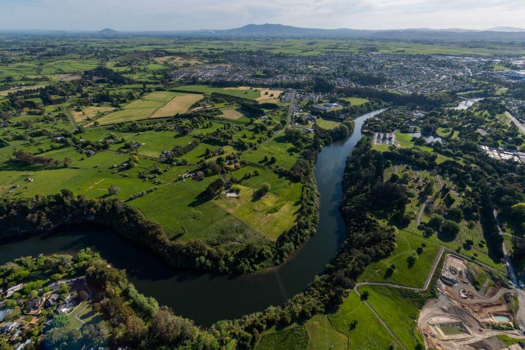

The Waikato River is New Zealand’s longest at 425km. Overall, it drains water from 12 per cent of the North Island.
The rain events we’ve experienced this summer have been hugely challenging for some parts of the country. Acknowledging that the Coromandel has suffered significant landslip damage due to saturated catchments, creating major issues with the roading network, with significant impacts on the local community, the Waikato as a whole has escaped relatively unscathed.
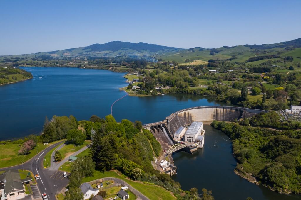
Many will have observed that discharges from the Karapiro dam have been significant at times during the summer months. This is because the Waikato river is managed as part of an integrated whole of catchment approach to ensure as far as is practicable, flooding risks are minimised for those in more vulnerable parts of the catchment that have flood risk.
The Waikato River is New Zealand’s longest at 425km. Overall, it drains water from 12 per cent of the North Island. In addition, water is also contributed via the Tongariro scheme, diverting water from outside the Waikato catchment, and through three hydro-electric dams before entering Lake Taupo and the Waikato system. There are a further eight hydro-electric dams on the Waikato River. When significant rain events are forecast, Waikato Regional Council (WRC) and Mercury (operators of the hydro dams) work closely together to manage various risks to the wider catchment from the river system.
The Waipā River can have a significant effect on the Waikato River system when it is in flood. While the Waipā catchment is only 20 per cent of that of the Waikato, it can contribute between half to two thirds of the flow in the lower Waikato river during peak discharges. When necessary, the management of outflows from the Tongariro diversion, Taupō and Karapiro can lessen the impact of heavy rain in the Waipā catchment on communities further downstream. When heavy rain is forecast for the Waipā catchment, extra water can be released via the Karapiro gates to create space in the upper river system before the Waipā flood peak arrives. Then when it does arrive, that space created in the upper catchment can be utilised to hold water back to minimise the impact of the Waipā flood flow on the lower Waikato communities.
Prior to the establishment of the integrated flood protection scheme, significant flooding was not uncommon in the lower reaches of the river. A particularly severe flood in 1953 saw the main highway flooded and the railway closed for two weeks.
Control of the Tongariro diversions, the Taupo gates and the Lower Waikato/Waipā control schemes all play a part in the management of the overall system, depending on which parts of the catchment are affected. While a whole of catchment approach is taken to ensure risks and effects are appropriately balanced throughout the catchment, this does not eliminate flood risks, and in the case of sustained and prolonged rainfall events, our ability to manage this becomes limited. The increasing frequency and intensity of flood events, combined with increasing population growth and development means the provision of hazard information, land use policies, regulations and river and catchment management related activities all need to be understood within the context of managing flood risks within a whole catchment. Further information can be found on the WRC website
Flood protection – asset management | Waikato Regional Council


